University is teaching drones to inspect plants using computer vision and machine learning techniques
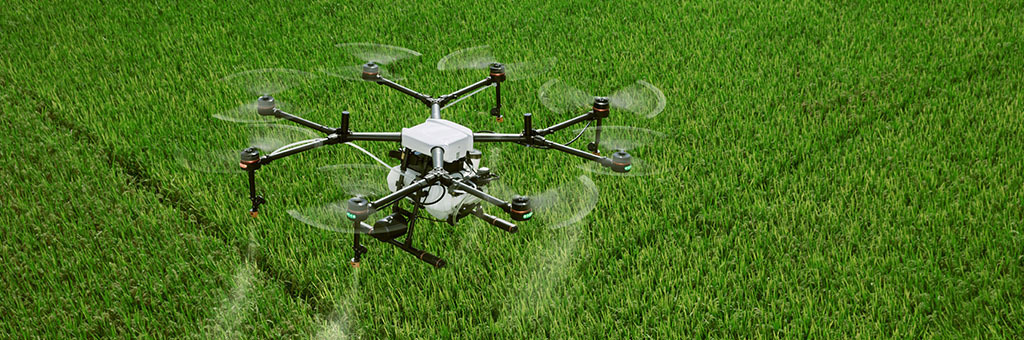
As part of the project, University is elaborating computer vision and machine learning methods for effective monitoring of agricultural land. Using data obtained from the board of unmanned aerial systems, we solve problems of image classification and identification, including multispectral ones.
Monitoring fields during the growth and maturation of useful plants is agriculture’s significant task. You can considerably reduce the use of herbicides if you detect clusters of weeds and act exclusively on harmful plants. It is easier to cure and increase the vitality of plants if you see signs of stress at an early stage and take corrective measuresеs. Applying the unmanned aerial vehicles and machine learning methods can improve the accuracy and efficiency of farming processes.
Project solves the problem of plant classification, stress identification and mapping of agricultural land. Within the project, the developers recreate the factors that hinder the development of beneficial plants, create significant sets of labeled images and train machine learning models, including deep neural networks, with which they solve the given tasks.
Project’s scientific supervisor is Raviln Mukhamediyev. The team is developing the ways to improve the accuracy of the elaborated classification methods and is conducting experiments to test them experimentally.
Project results:
- Prototype of the software and hardware system using UAVs, including software for image processing, has been developed;
- Prototype of the method for identifying the weeds of several species has been developed.
- Pilot sites have been created where negative factors affecting the growth of sugar beet are being studied;
- More than 300 photos of the soybean field have been marked up, weeds and useful crops have been highlighted.
Study results were published in the journals of the first and second quartiles.